
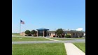
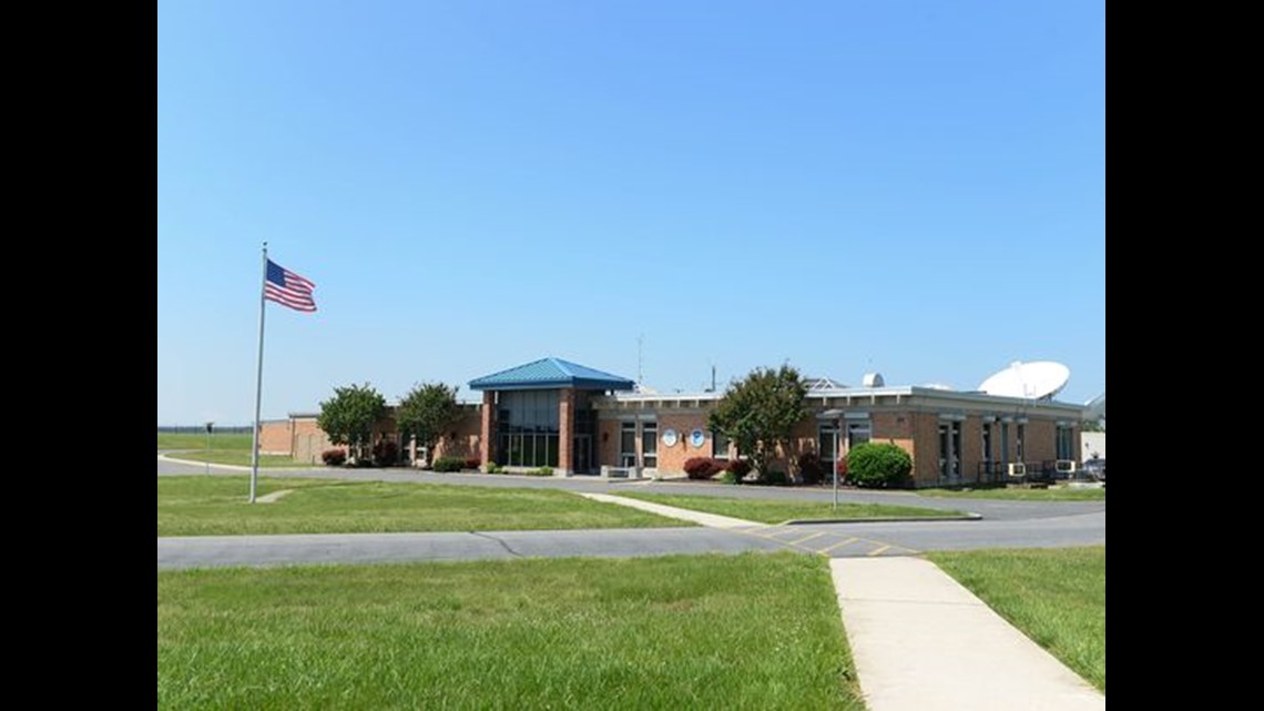
WALLOPS ISLAND, Va., (Delmarva Now) -- In a brick building at the end of an inconspicuous driveway just west of the Chincoteague causeway, government employees are at work right now to make possible the television and online weather reports people will see later today.
The Wallops Command and Data Acquisition Station is one of only two NOAA facilities in the world -- along with its sister station in Fairbanks, Alaska -- that monitor the satellites that collect vital weather data for the nation.
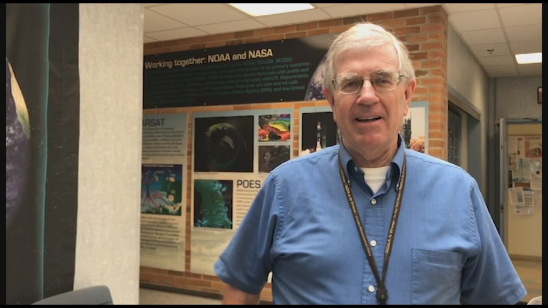
"We track the weather satellites for the entire country. If you see it on the 11 o'clock news or the internet or The Weather Channel — you see clouds going across the sky — that's coming from us," said Al McMath Jr., operations branch chief.
The station operates around the clock, 365 days a year.
"You can call in on Christmas morning and somebody will answer," McMath said.
Among McMath's duties is managing the four crews who keep the station up and running 24 hours a day.
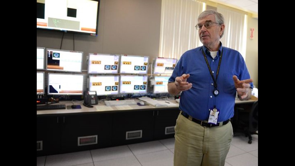
On one whiteboard in his comfortably cluttered office, McMath tracks the crew members' ever-changing schedules. On another board, he scribbles furiously, attempting to explain to a visitor the numerous satellites those crew members spend their workdays — or work nights, as the case may be — tracking.
"I get calls at 3 or 4 o'clock in the morning. I say, if it breaks, call me; I don't care what time it is," he said, adding, "I say there are only two rules: If it breaks, you've got to call me, and you've got to tell me the truth."
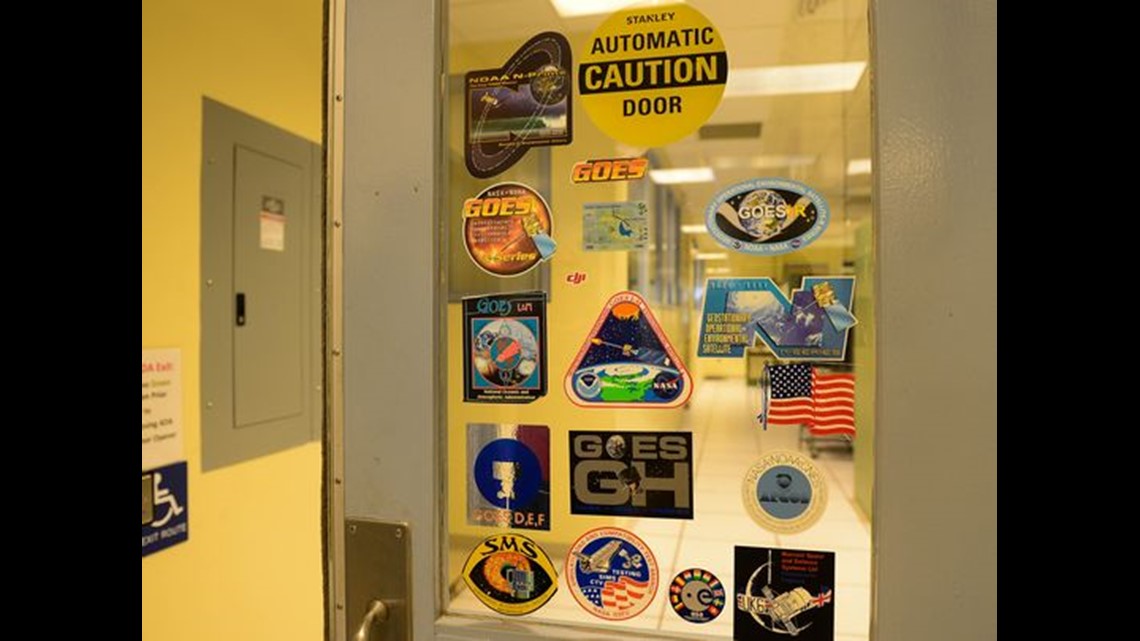
The station's first antenna, built in the mid-1960s, is still in use. Today, the 85-foot-diameter antenna, constructed of 350 tons of steel, tracks DSCOVR, a satellite that collects space weather data.
Hurricane season
NOAA picked Wallops more than a half-century ago as a good spot to monitor weather satellites in part because of its rural nature, with less radio interference than in many places, according to McMath.
The Wallops station is the only one that tracks the nation's fleet of Geostationary Operational Environmental Satellites, which provide continuous weather imagery and data over the Western Hemisphere from an orbit 22,300 miles above Earth.
"They are always looking down. Typically, we have one over the East Coast and one over the West Coast," McMath said.
It was science-fiction and science author Arthur C. Clarke who figured out that if a spacecraft is placed at that altitude above Earth's equator, "it's orbiting at the same speed the Earth is rotating but appears to be stationary," McMath said.
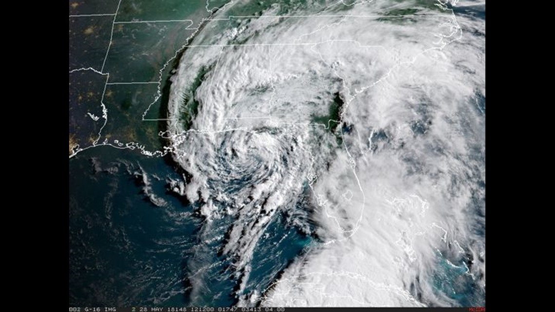
These satellite images — like the dramatic pictures of Hurricane Katrina approaching the Gulf Coast in August 2005 or images of Hurricane Maria last September, which were seen by millions — are the ones viewers of television weather broadcasts see.
"They all came from here," McMath said.
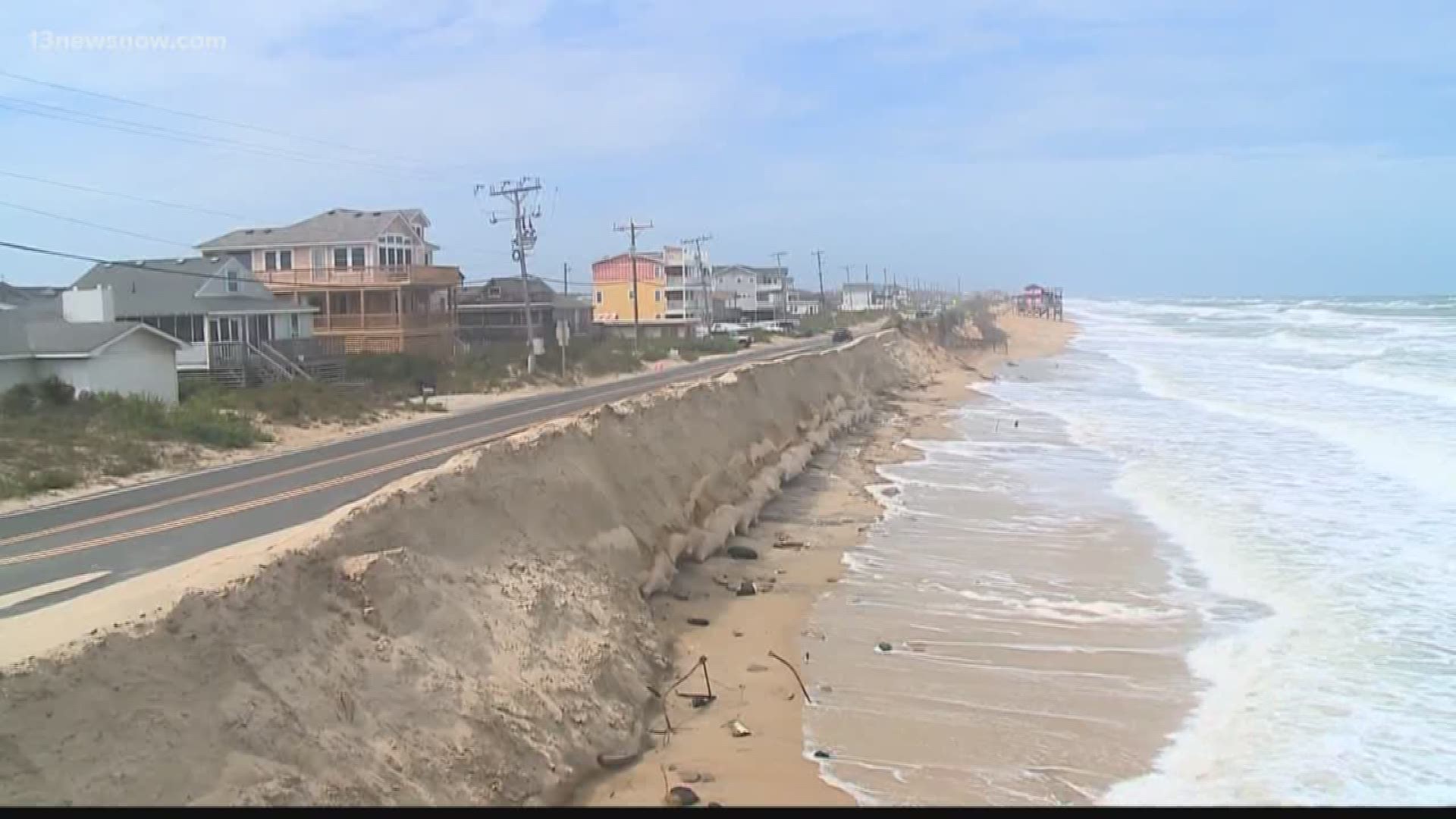
With hurricane season starting June 1, those images will be particularly important to viewers in vulnerable areas like the Delmarva Peninsula, which includes the Eastern Shore of Maryland and Virginia, and parts of lower Delaware. It's also where Wallops is located.
NOAA forecasts 11 to 17 named tropical storms will develop this year in the Atlantic Basin, a region which includes the Atlantic, the Caribbean Sea and Gulf of Mexico.
Two to four of these storms could be major, the administration said, with wind speeds of 111 mph or higher and rated as Category 3, 4 or 5 on the Saffir-Simpson Scale of Hurricane Intensity.
In addition to GOES, the Wallops station helps track polar-orbiting satellites, which circle the Earth at an altitude of 250 or so miles every 96 minutes, passing near the North and South poles on each orbit and together providing observations for every location on Earth multiple times a day.
Wallops workers can track those satellites for just 10 to 15 minutes per orbit, however, with other stations taking over the rest of the time.
The GOES team and the polar satellite teamwork in two separate areas of the station, spending their days, or nights, perusing their respective computer monitors.
It's a pretty low-key place, with subdued lighting — it's easier for workers to see their computer screens that way, McMath said. Some workers have decorated their computer station with personal items.
In between the two rooms that house employees are others, each filled with servers and other electronic equipment. It's loud in those rooms, and cold — it has to be, to preserve the instruments, McMath said.
Crucial info in disasters
In another part of the station, employees monitor and relay some 800,000 messages a day from instruments belonging to various federal and state agencies, including the Army Corps of Engineers and the Bureau of Land Management, among others. These instruments measure environmental data of many different types.
There are some 30,000 such instruments in the hemisphere — everything from a buoy in the Chesapeake Bay to an instrument along a fault line out West — and the Wallops station supports all those customers, both in the United States and in other countries.
After the Sept. 11, 2001, attacks, instruments were even placed temporarily in southern Manhattan to measure air quality around the pile of rubble from the destroyed towers. That data, too, passed through Wallops.
"What is really important about that particular data ... it's really measurable" — and is crucial for use by decision-makers in disasters including floods, tsunamis, forest fires, earthquakes and the like, McMath said.
Many of the instruments send their data to the station from remote parts of the world.
"I'll get calls from people, saying that they are not getting their data — and they are kind of desperate because it's a two-hour helicopter ride to get their platform," said Ed Hamblin, one of the technicians who work in the data collection area.
It is the technicians' job to help those customers solve their problems and make sure the data keeps flowing.
The station at Wallops also works with international missions, including an oceanographic mission based in France; the COSMIC mission, based in Taiwan; and a European mission involving a polar orbiting spacecraft.
Additionally, the station serves as a backup to the national satellite control center in Suitland, Maryland, where information collected at Wallops is relayed. If that center had a serious problem, it would send staff to the Wallops station.
The Wallops site was once part of a golf course belonging to US Naval Air Station Chincoteague and is on land leased from NASA Wallops Flight Facility.
Since the first antenna went up more than a half-century ago, the facility has added about a dozen more, scattered around a large, grassy field behind the operations building.
The building also has been expanded several times, starting in 1970 and including a recent multimillion-dollar upgrade to support the next generation of GOES.
Three new antennas were built to support the new GOES spacecraft, which NASA launches from Cape Canaveral in Florida.
GOES-16 was launched Nov. 19, 2016, and GOES-17 was launched March 1, 2018.
The next spacecraft in the series is scheduled to be launched in 2020.
"We're transitioning from one series of spacecraft to a brand-new series of spacecraft," McMath said, noting that the new spacecraft "are hugely advanced technologically" compared to the older models.
The older spacecraft took a full-disk image of the hemisphere every half hour — with the latest ones, "you're getting one every five minutes," McMath said.
"Vital national asset"
McMath is one of nearly 70 employees at the station. Most are electronics technicians, and many come to NOAA with a military background — from the Navy in particular, he said.
Despite the rigors of shift work — crews work three days on, followed by three days off — employees tend to stay once they come to the facility.
"People stay a long time; we don't get a lot of turnover," McMath said.
That's good, seeing as the equipment and the mission are "so unique, it takes us a year to get people trained," he said.
McMath, whose educational background is in mathematics and computer science, has worked at the station since 1977 and has been operations chief since 2005.
In comparison, Station Manager Victor N. Grycenkov is a relative newcomer — the former Air Force officer has been at the station seven months.
Among his goals is to get the word out to the public about the importance of the work being done at the station, which has sometimes been described as Wallops' best-kept secret.
"It's a vital national asset. All the weather you see on the news — that is us. We're the ones that provide you all that. Without us, they don't get the weather — and most people don't realize that," he said.
Grycenkov praised the employees, saying, "Thank God I have the best team in the world here. These guys are top-notch. I look at my job as to knock down barriers for these guys so they can do their job, because they are experts in the field."
"My job is to make them look good," he said, noting with pride that in the past four months, the Wallops station has had two employees of the month for the Office of Satellite and Product Operations.
The station supports national weather reporting, but the work also impacts defense, national security, intelligence agencies and airlines, among other entities, Grycenkov said.
"People don't realize, weather is DOD (Department of Defense), intel — everybody uses it — airlines, we as citizens. Every aspect of our nation uses it."
The Office of Satellite and Product Operations in Suitland Maryland, commands the weather satellites the Wallops crews track.
"The way the enterprise works (is) they command the satellites. They send the commands to us, we uplink to the satellites, and the satellite executes the commands. We bring down the data, and then we send out the data — in a nutshell, that's how it works," Grycenkov said.
The employees' mission includes not only operating but also maintaining all aspects of the station.
"This is like a mini city. I joke with these guys, I'm like the mayor of a small city. I've got all the trials, tribulations and benefits of that," Grycenkov said.
On the horizon
Among his goals for the station is to increase ties with other Wallops-area agencies, including NASA, the Navy and the Coast Guard.
"We meet regularly, and we have increased our participation. We have established the ... Wallops Diversity Inclusion Advisory Council" — that's a formal effort to bring a more diverse workforce into Wallops agencies, he said.
Another goal he has is to increase the emphasis on space weather, including phenomena like solar flares and geomagnetic storms, among others.
"People forget space weather is a huge impact to the world," he said, noting it can impact electrical grids and radio communications, among other systems on Earth.
Among improvements coming to the station within the next few months are tools to help visitors better understand its mission — including a monitor that will show the Earth, Wallops and all the satellites tracked there in a 3-dimensional orientation, "so you get a real understanding of what we do, of how busy we are here," Grycenko said.
"We're also getting Science on the Sphere, so people can actually see the products that are produced in a time-lapse — so you can see hurricanes forming off Africa, coming across and hitting the US," he said.
The animated globe — developed starting in 1995 as an education and outreach tool by Alexander MacDonald, the director of the NOAA Earth System Research Laboratory in Boulder, Colorado — can show dynamic images of the atmosphere, oceans and land.
Those tools will help educate visitors to the station, including Space Camp campers who visit weekly in the summer and others eager to learn what goes on there.
"Our vision is to make the station the premiere weather downlink in the world. We're looking to the future," Grycenko said.
"We are a Virginia locality with a global impact. We impact the world," he said.
► Make it easy to keep up to date with more stories like this. Download the 13News Now App.