
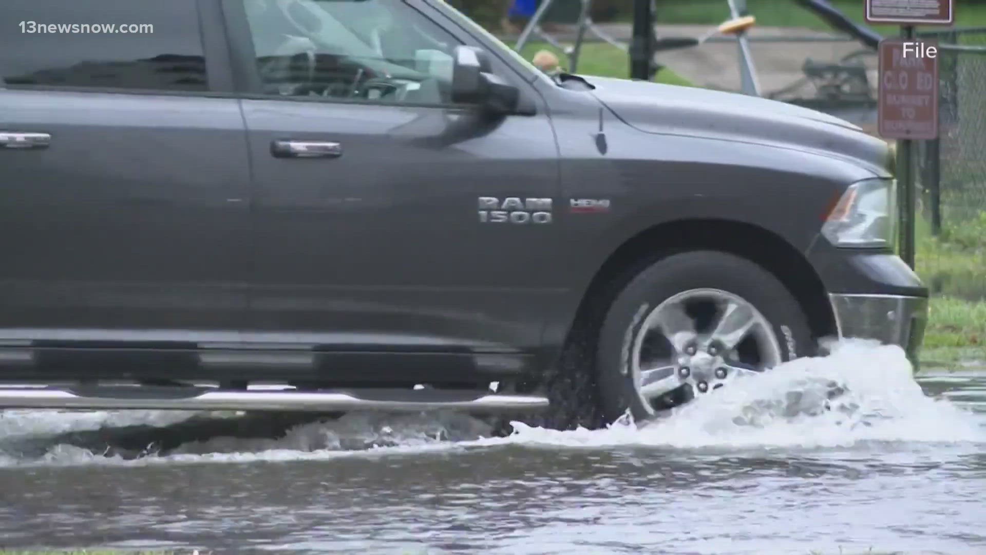
NORFOLK, Va. — You've probably passed them on your everyday drive, but hardly noticed they were there.
Flooding sensors across Hampton Roads are placed in specific areas on the side of roads. Each sensor looks like a pole with a rectangular, gray box at the top.
It's simple in its appearance, but the sensor is doing a lot of complicated work.
It's a project piloted by the Hampton Roads Planning District Commission (HRPDC). Principal Water Resources Planner Whitney Katchmark said there are 20 sensors located in Norfolk, Virginia Beach, Chesapeake, Portsmouth, Hampton, Newport News and Poquoson.
There's even an interactive map showing all of the flood sensor locations.
Katchmark has worked with HRPDC for the past 17 years and said she is familiar with the impacts hurricanes have on Hampton Roads. She said technological advancements are helping her team better manage flooding from these types of weather-related incidents.
"Our technology has changed. It just gives us a chance to know more and make better decisions," said Katchmore, referring to the new flood sensors.
Katchmore said the sensors measure the depth of the water on the roadway and then it sends that information to a web portal every five minutes. Once the sensor finds the water reaches a certain level, it sends an alert to the GPS app called Waze.
Waze then re-directs you to another route around the flooded area, so you can avoid driving into the water levels and potentially getting stuck. Similar to how the app shows you traffic build-up, police officers, or objects in the roadway, a little icon will pop up like an alert, telling you where the flooding occurred.
"We thought the Waze app was an innovative and slick way to reach a lot of people," said Katchmore. "We're trying to take advantage of it. It's kind of part of the broader concept of smart cities. So, there's other kinds of sensors that could be incorporated into this feature, but we're excited about this one."
Katchmore said using the Waze app is also another way to reach people more easily. She said this way, people don't have to think and sign up independently for text alerts. She added it'll help anyone traveling out of state who may not be aware of flooded areas or ways to get alerts.
"If you use this app, which is commonly used because I want to know where congestion is, and it says, 'Hey! don't go that way,' then as a user, you don't have to seek out the data. It's going to be delivered to you in a really easy fashion," Katchmore explained. "This is just a way to live with the fact that we live by the water and we're going to save some flooding issues...but it doesn't have to be such a burden. Make life easier for everybody."
However, this effort goes beyond just alerting everyday drivers on their phones. Katchmore said her team will use the data the flood sensors collect over the years with university researchers to determine if certain areas or zones need improvements due to flooding concerns.