
NORFOLK, Va. — The resemblance to a stoplight is fitting; both so closely intertwined with transit, both involved in a plan to maintain safety and efficiency on the roadways.
When it comes to Norfolk's online multimodal transportation pinpoint map, however, the only sign the city is sending is "GO."
"This is meaningful for us. We're taking time to seek and receive this input, there are no foregone conclusions," said Director of the Department of Transit Amy Inman.
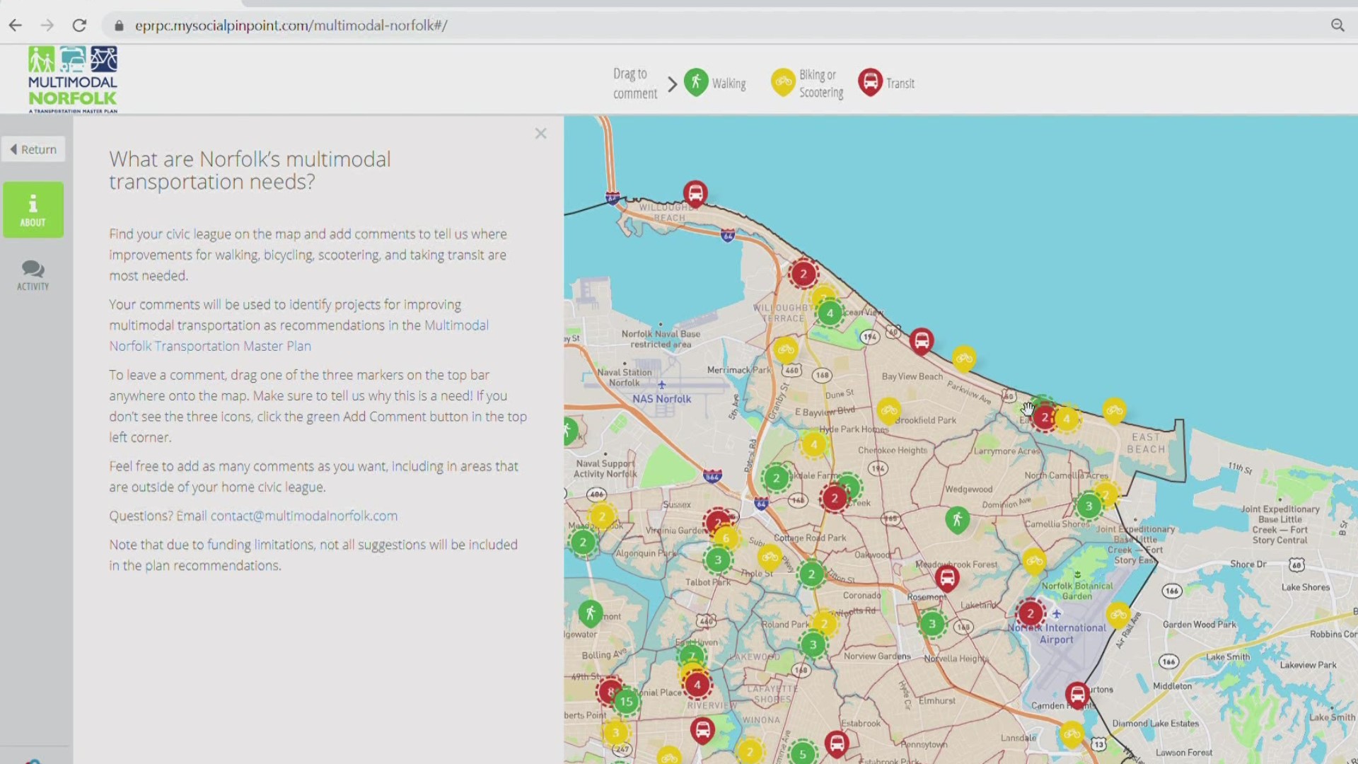
Green points on the map are for comments about walking, while yellow points represent biking or scootering. Red is for suggestions related to transit. Once on the site, users can find their exact street and drop points where they feel there are concerns.
"This will be a guiding document, a blueprint for leaders and citizens to know how we are gonna address these needs," said Inman, highlighting the importance of community input.
When leaders of Norfolk realized a world gone remote hampered their ability to interact with citizens, they innovated, with this map as the result. Now Inman says it might just be here to stay
"Why don't we just keep this up? Make it the normal way people can provide us with comments," she said.
The map will be open and available for comments through July 30.