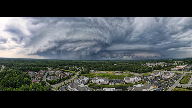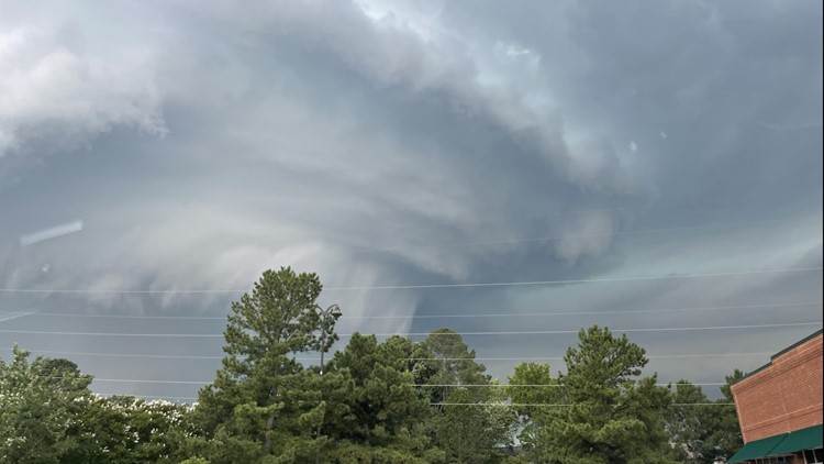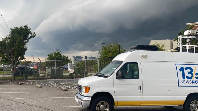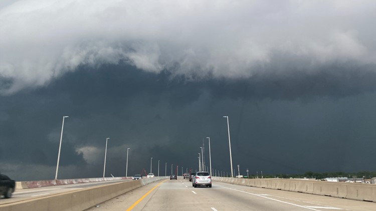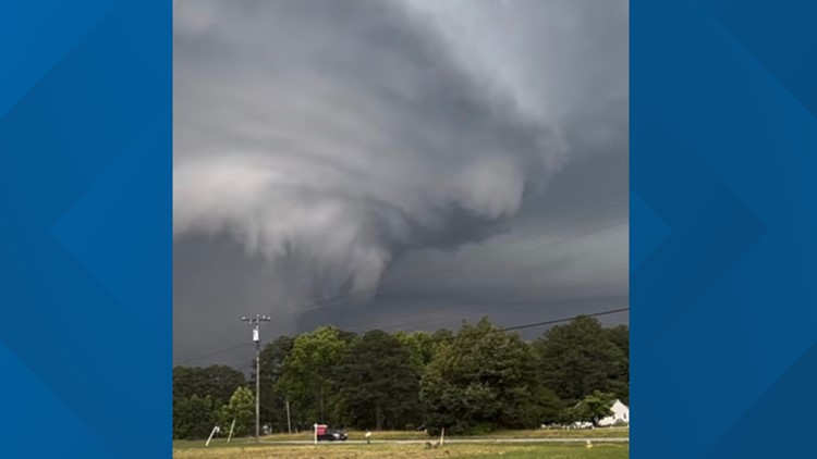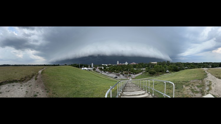
NORFOLK, Va. — The last of several Severe Thunderstorm Warnings in South Hampton Roads and northeast North Carolina expired at 7:15 p.m. Friday, and a Severe Thunderstorm Watch expired for most of the region at 9 p.m. as a cold front moves through.
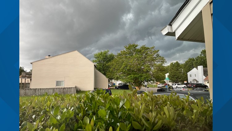
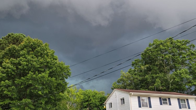
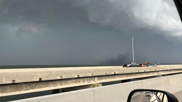
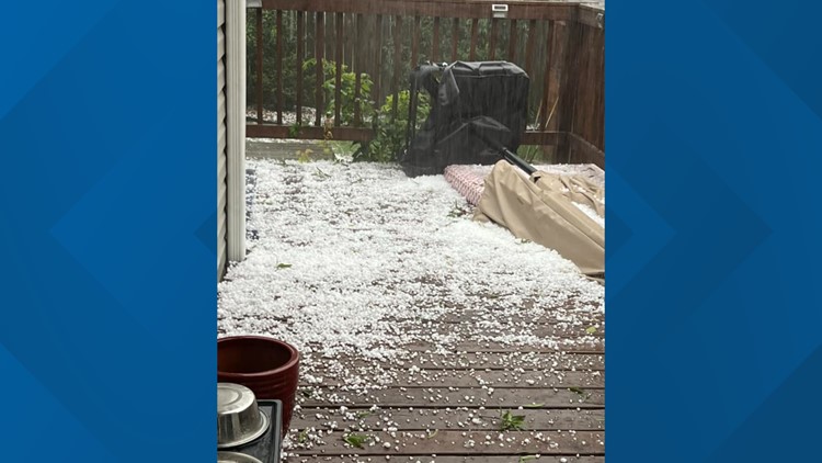
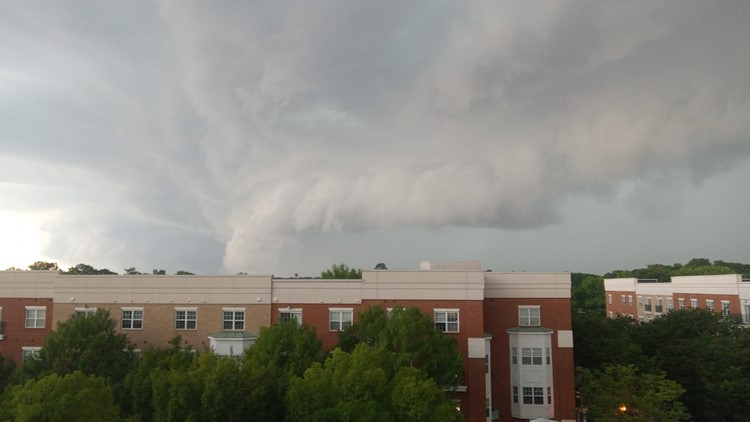
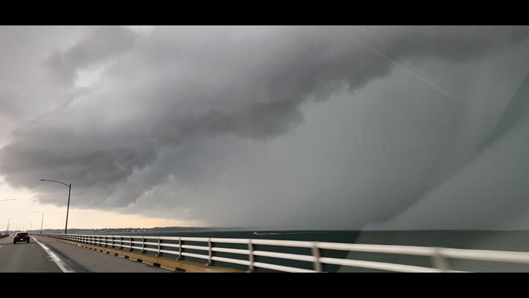
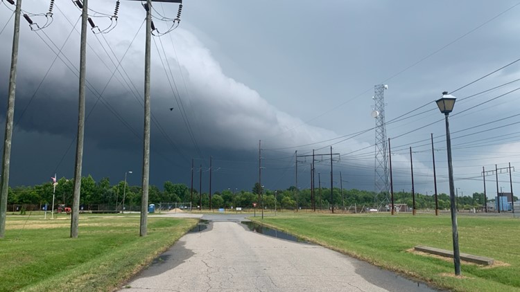
This front produced several severe thunderstorms, many producing hail, and a possible tornado near Carrolton.
A National Weather Service alert said a brief tornado was spotted at 4:55 p.m. over the Crittenden area in Suffolk, or near Carrolton in Isle of Wight, moving east at 25 mph. The tornado warning initially covered areas in Norfolk, Portsmouth, Isle of Wight County and the City of Suffolk but was cancelled within about 20 minutes.
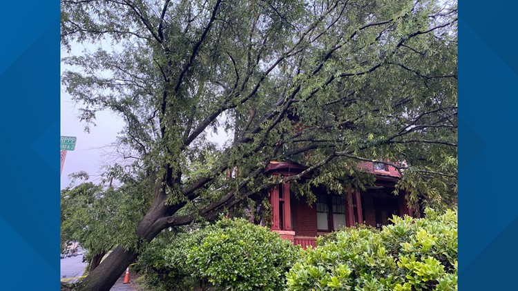
Isle of Wight Sheriff's Deputy Alecia Paul said that county dispatchers had not recieved any reports of a tornado touching down in the area.
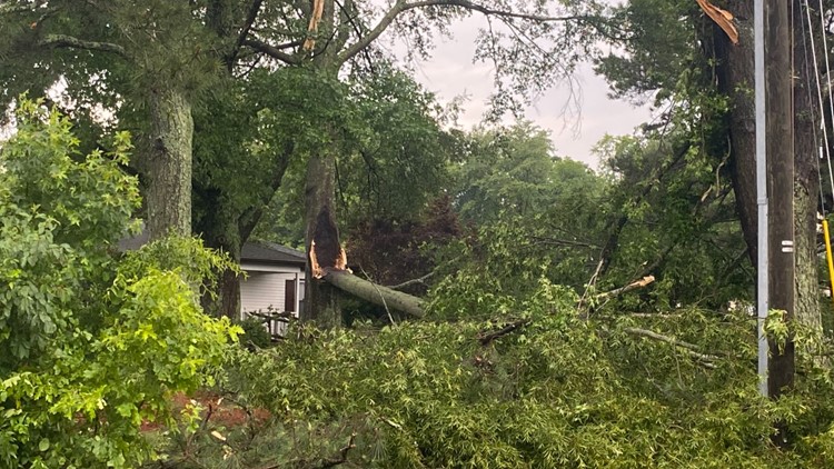
"The only active problem was a tree down across Reynolds Drive near Nike Park. The road is clear now," she said.
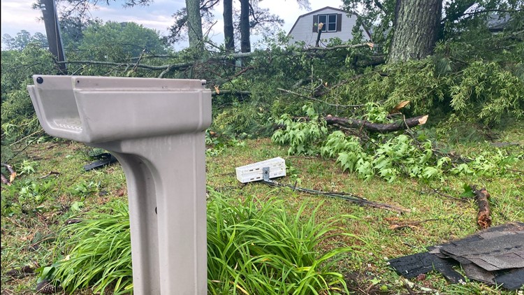
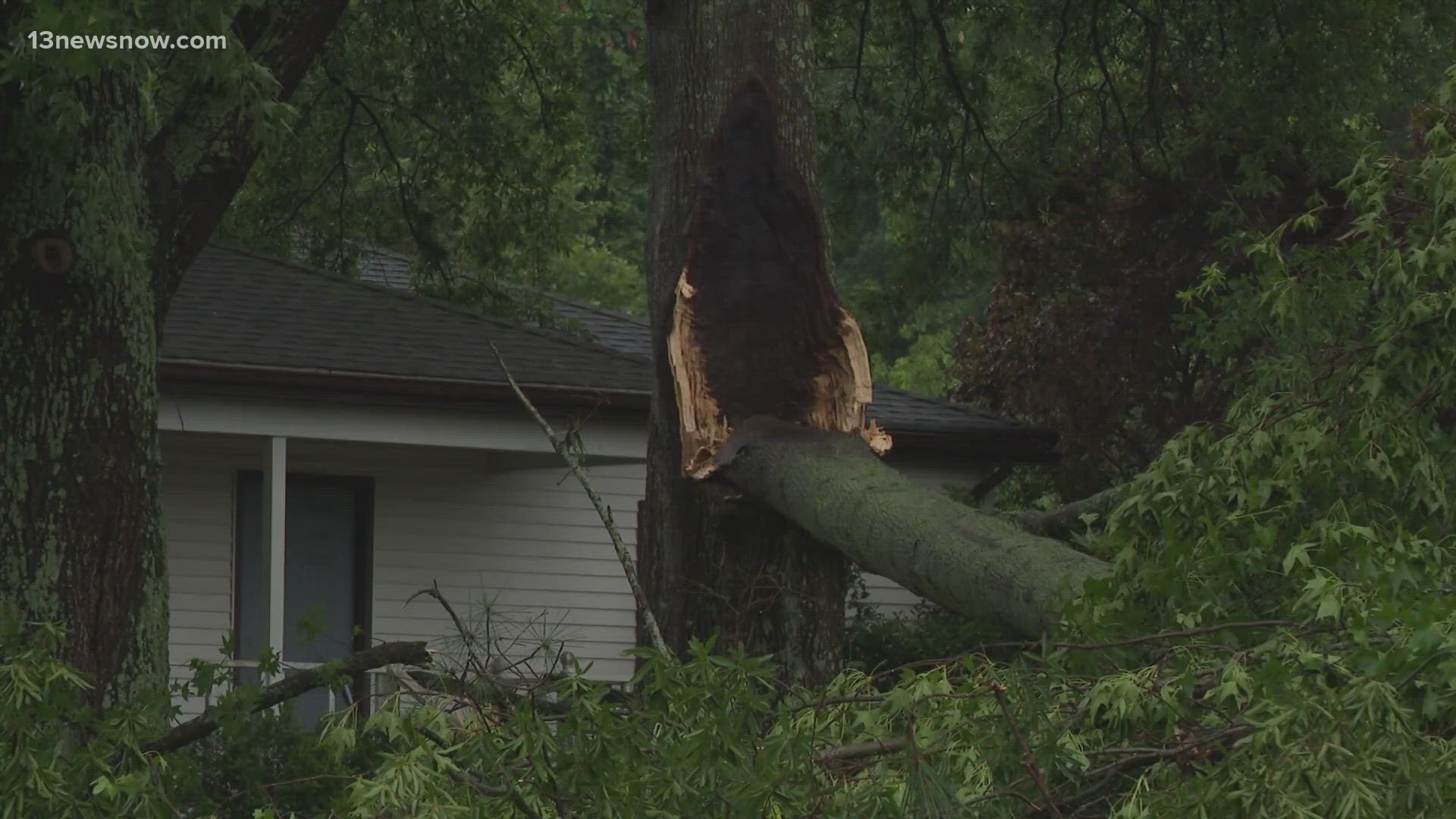
There were also pieces of trees which landed on private properties. For instance, branches, large and small, piled up on yards on Norsworthy Drive in Carrollton.
Damage in Isle of Wight County was not widespread; however, power outages were, with thousands of homes affected.
Dominion Energy regional spokesperson Cherise Newsome said about 4,300 customers were without power in the Isle of Wight area around 7 p.m. Friday.
"Our crews are working on about 40 projects throughout that region to get the power back on as quickly and safely as possible," she told 13News Now. "We’re still assessing the extent of damage caused by this afternoon’s storm."
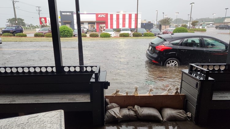
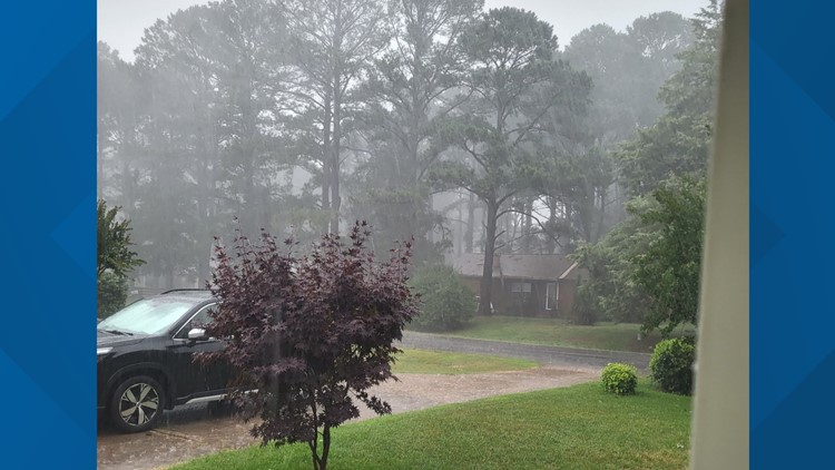
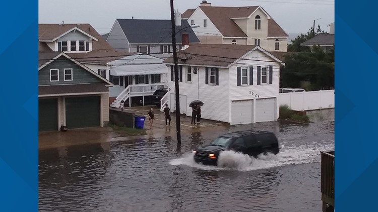
A flash flood warning was in place until 8:30 p.m. for Chesapeake, Norfolk, Portsmouth, Virginia Beach, Hampton, Newport News, Poquoson and York County due to thunderstorms producing heavy rain.
In the South Hampton Roads areas affected by the flash flood warning, the NWS said one to two inches have already fallen and up to two more inches are possible. Life-threatening flash flooding of creeks and streams, urban areas, highways, streets and underpasses is possible, according to the NWS alert.
Multiple flooded roads had been reported in Downtown Norfolk and Portsmouth, according to the NWS alert.
This is a developing story. Follow 13News Now for updates.