
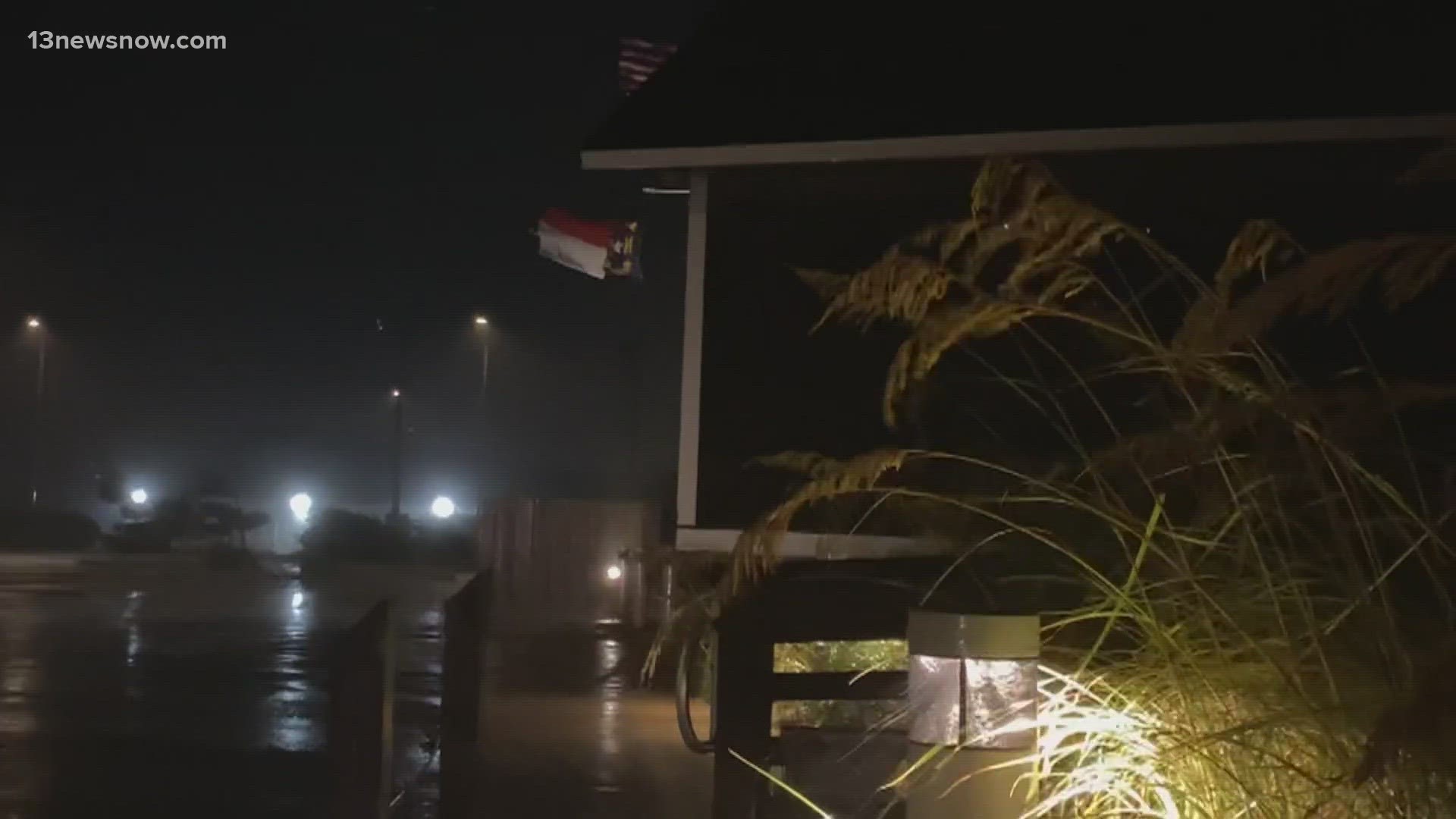
A 13News Now crew was on the Outer Banks, including in Nags Head and Rodanthe, on Wednesday, where rain pushed in sporadically during the late afternoon and evening hours.
Largely, Wednesday felt like the calm before the storm.
People still lined the beaches to soak in the sun. Although red "no swimming" flags flew along Outer Banks beaches, surfers could be seen riding the waves.
Those waves roared, appeared choppy and crashed onto the shores, especially as the area still felt impacts from Franklin.
“It’s our home away from home,” said vacationer Julie McGee. 13News Now spoke with her during her biannual trip to Rodanthe.
She recalled her experience under the threat of severe weather a few years ago on Hatteras Island.
“The situation then was much more. We were evacuated, I think, three days before it even hit. So, I think it’ll be pretty lowkey. Fingers crossed,” said McGee.
RELATED: Tropical Storm Warning issued for Outer Banks as North Carolina prepares for Tropical Storm Idalia
Dare County Emergency Management Director Drew Pearson said Idalia is not expected to bring Florida-like impacts to the Outer Banks.
Still, he wants people – especially those on Hatteras Island – to stay weather aware.
“We’re anticipating seeing rain starting [Wednesday night], winds starting to pick up. We’re seeing the tropical storm forced winds mainly on Hatteras will start [Thursday] morning and maybe peak throughout the day, continue through the day and then start to diminish as we go into Friday and into the weekend,” Pearson added.
Pearson also said they are watching for rainfall predicted at four to eight inches.
“That could cause a lot of flash flooding. It could impact travel on road systems throughout the county,” said Pearson.
He urged preparedness by securing lawn items and cars.
Ocean overwash is also possible on Hatteras Island and on NC Highway 12, officials said.
“I would say it’s the next three or four high cycles that are possibly going to give us problems,” North Carolina Department of Transportation (NDCOT) spokesman Tim Hass told 13News Now during an interview early Wednesday afternoon.
Hass said NCDOT crews have been shoring up the dunes since Monday.
“Mother nature has her own agenda. Every high tide cycle will give us something we probably have to go back and fix,” said Hass.
He said crews are concentrated on seven hotspots; however, they are ready to respond as needed.
Hass offered the following advice, “I would say [Thursday] is going to be our worst day. We’re going to get our heaviest rain, our heaviest wind. All of that kind of stuff is going to be [Thursday]. So, I would honestly stay in place [Thursday] and hope for better things on Friday and through the weekend.”
As the Labor Day weekend nears, Hass encouraged drivers traveling to the Outer Banks hop on drivenc.gov to check for road closures or issues.