
NORFOLK, Va. — Cities and counties from the Eastern Shore all the way south through Dare County are taking action to prepare for what could prove to be a nasty nor'easter that's forming off the coast in the Atlantic.
The storm is coming together as the remnants of post-tropical storm Ian combine with a cold front. 13News Now Meteorologist Evan Stewart says we could face the highest flooding Hampton Roads has seen in years.
School divisions are cancelling classes, city buildings are closing and state of emergencies have been declared.
A Coastal Flood Warning until 7 p.m. Wednesday, along with other advisories, have been declared in Dare County. Read the full story about that HERE.
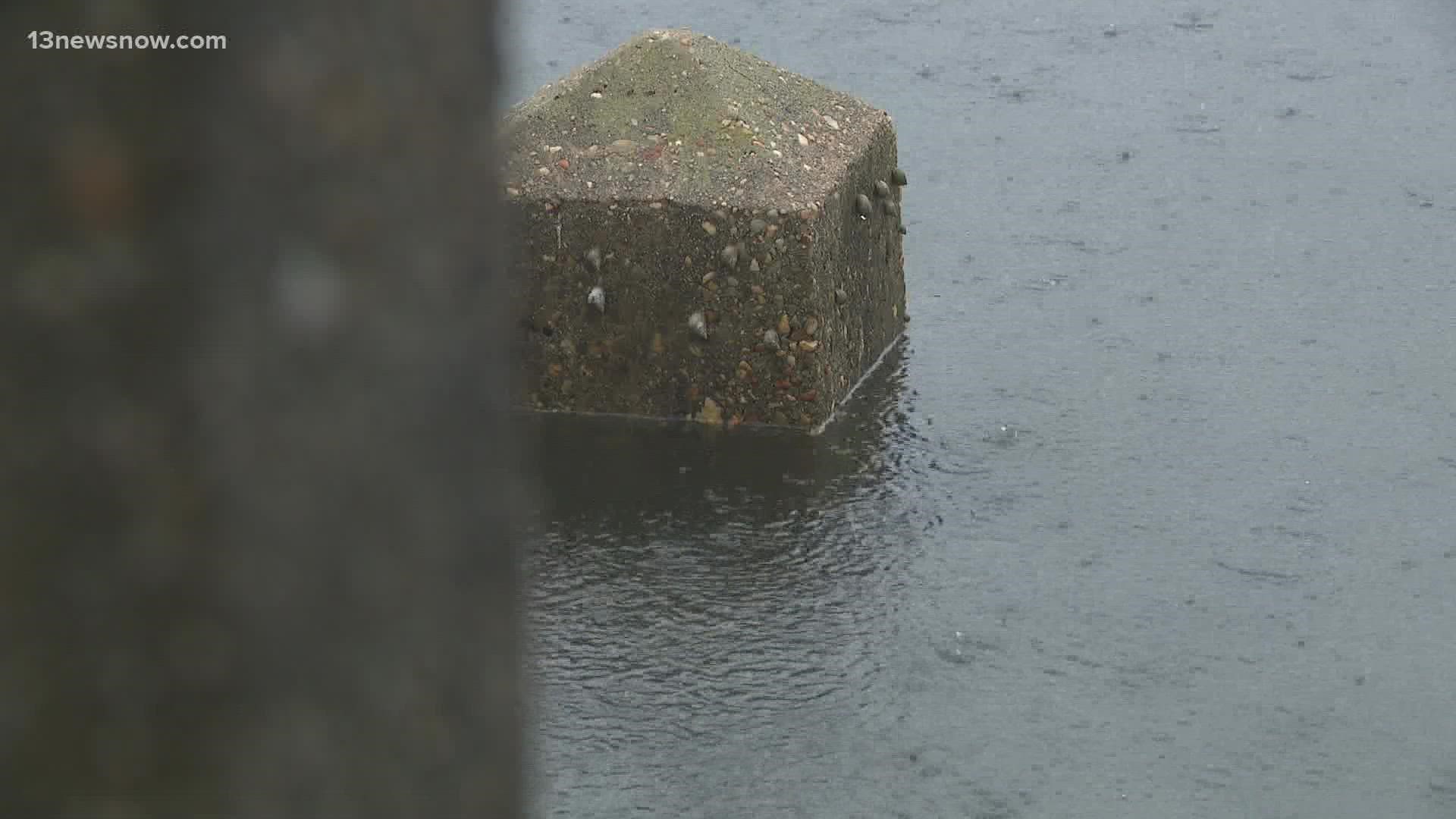
A flooding event Hampton Roads will remember
Right now, the forecast is for Monday afternoon to reach "major" flooding, which starts at 6.5 feet above mean lower low water at Sewell's Point. Major flooding is also forecast for Yorktown and Duck, NC, as well as other areas that are subject to flooding from prolonged north and northeast winds.
> Read the full 13NewsNow forecast: Wind, rain increase Sunday; potential for significant tidal flooding Monday
Remember Hurricane Sandy back in 2012? Well, some experts are comparing the flooding then, to what we’ll see Monday.
“Actually, it’s going to be a little bit over what we got here with Hurricane Sandy,” said Skip Stiles, Wetlands Watch Executive Director.
He said we could see peak flood levels at almost seven feet.
“During high tide it’s gonna be tough to get around some of the low lying areas,” he said. “People really need to be aware of the water coming into their yards and into their homes.”
Stiles said this will be one flood event Hampton Roads will remember.
“It’s gonna be significant. It’ll be in the top 15 ranked flooding events of the region for sure.”
Local declarations of emergency issued
Chincoteague has declared a state of emergency. The town is issuing a voluntary evacuation for the entire island and strongly recommending that those in the Bunker Hill area and the Ocean Breeze Community evacuate.
Gloucester County declared a "Local Emergency" Monday because of the risks of flooding. The county is expecting water to be two or three feet above ground in some areas, and a spokesman said this will make many roads impassable.
The city of Hampton also issued a state of emergency, closing city schools Monday, and closing City Hall and other local government-run facilities starting at noon. A city news release said flooding levels "could rival or surpass those seen in Hurricane Sandy in 2012." Their Office of Emergency Management said some locations that may experience flooding include Buckroe, Foxhill, Fort Monroe, Langley Air Force Base, Hampton University, Newmarket Creek area, and Grandview.
The city of Norfolk is also under a state of emergency. All city offices, recreation centers and libraries, including Slover Library, will be closed on Monday, October 3. This includes the Norfolk Animal Care and Adoption Center.
Portsmouth declared a local emergency Sunday night. Because of the storm, Portsmouth Public Schools won't have class Monday, the ferry service is suspended, courts will be closed and city offices are closing at noon. The flooding is expected to hit low-lying areas around the 4 p.m. high tide. Water levels will likely be higher than the area saw on Friday, when Ian's outer bands impacted Hampton Roads.
The city of Virginia Beach also declared a state of emergency Sunday. The city is particularly concerned about the Chesapeake Bay area, the North End, the Resort Area, Croatan, Ocean Lakes, Sandbridge, Owl Creek and the Lynnhaven River.
Public transportation and parking garage changes
Virginia Beach is providing free parking in some city garages until Thursday at 8 a.m. These include the municipal garages at 9th and 31st streets only in the Resort Area. Residents may also park their vehicles at four Town Center garages: the Maroon Garage (Apex Entertainment VB), the Red Garage (Westin Hotel), the Green Garage (Armada-Hoffler Tower), and the Orange Garage (Clark-Nexsen Tower).
In Portsmouth, a spokesperson says Portsmouth parking garages will stay open for residents in low lying areas until Wednesday at 7 a.m. They were originally going to close Monday morning.
In Norfolk, city parking garages open from 5:30pm tonight until 8am Wednesday, including: York Street Garage, Charlotte Street Garage, Bank Street Garage, and the Brambleton Lot. Additionally, Old Dominion University’s Constant Center 43rd Street parking garage is available to Norfolk residents Sunday, October 2, through Wednesday, October 4, at 8 a.m.
Hampton Roads Transit announced that service on the Elizabeth River Ferry would be suspended Sunday night through Tuesday. They also worned that routes might be delayed, rerouted or suspended based on conditions.
Navy delays deployment of USS Ford
The U.S. Navy has also been impacted as the initial deployment of the USS Gerald R. Ford scheduled for Monday has been delayed.
They also announced that only mission essential personnel were required to report at all facilities on Monday.